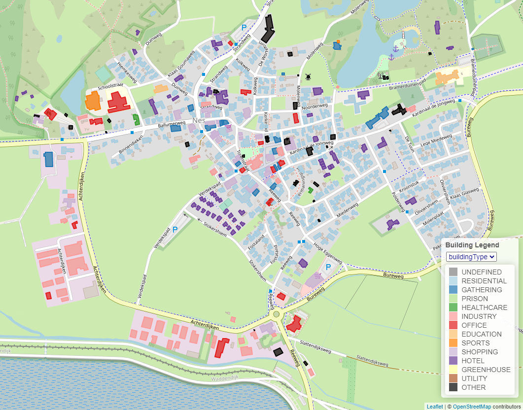
Building information
Whenever you load an ESDL file, with buildings in it with their geometry (for example using the ESDL BAG service), the MapEditor will visualize these buildings on the map. It will try to find three specific attributes of these buildings, namely building year, building area and building type. The buildings will be colored according to these attributes. You can choose the attribute that should be used for coloring in the dropdown menu at the top op the legend.